November 3, 2026
Black sea bass, blackfish and mackerel
2 reports from 1 source in and around Montauk. Black sea bass showed up in every one.
- · Viking Fleet
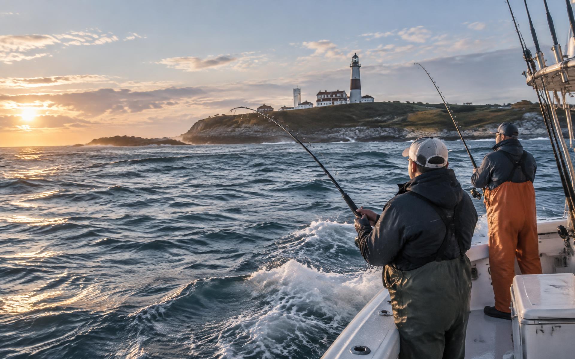
Montauk, New York
Boats, tides, local reports, and a good day on the water at the end of the island.
Montauk today · Fri Nov 6
Heavy Rain
SW 13 mph
A little chop likely, fine for most open boats, and pack something waterproof.
Next high
6:20 AM
2.6 ft
Next low
12:24 AM
0.2 ft
Sat
Nov 7
63°
Light Rain Likely then Mostly Sunny
Sun
Nov 8
60°
Slight Chance Rain Showers then Mostly Sunny
Mon
Nov 9
58°
Slight Chance Light Rain
Tue
Nov 10
61°
Sunny
Wed
Nov 11
58°
Sunny
The report
2 reports from 1 source in and around Montauk. Black sea bass showed up in every one.
What's biting
The last 7 days, by how often each fish was reported
Counted from 22 public trip reports. A fish counts once per report, however many were caught. Limits are New York's, from our regulations page.
On the dock
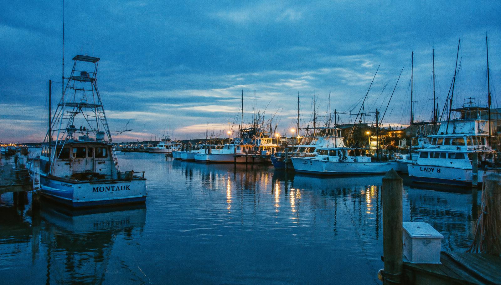
Montauk's long-running open-boat fleet out of Viking Dock.
CharterFamily-friendly charter fishing out of Montauk.
CharterLight-tackle charters in Montauk.
CharterFishing charters out of Montauk.
CharterTuna, inshore and deep-sea charters out of Montauk.
CharterSportfishing charters out of Montauk.
From the magazine
Guide
A month-by-month look at what Montauk's party boats schedule and what surfcasters chase from September to December, built from the boats' own 2026 schedules, NYSDEC's current seasons and seasonal writing from On The Water and The Fisherman.
Guide
Which open boats sail from Montauk Harbor, where they dock, what they post for fares and rules, and what a first-timer should know about reservations, licenses, tackle, tipping and weather.
Guide
What shore anglers need to know before fishing Montauk Point and Camp Hero: State Parks permits, how the shoreline is laid out, how to use the Montauk tide station, and the safety basics for boulder fields and big surf.
Guide
A plain-language primer on the New York rules that matter most at Montauk: the marine registry, the NY Bight and Long Island Sound tautog regions, and the fall limits as posted by NYSDEC.
Guide
How a brackish pond became the harbor for New York's biggest fishing fleet, where the party and charter boats tie up today, what the Army Corps' channel-deepening project involves, and which tide station and marine forecasts cover the harbor.
Guide
A site-by-site guide to Montauk's public shoreline for people who fish from land: the two state parks at the Point, the Town of East Hampton's sites, and the parking and drive-on permits each one requires.
Guide
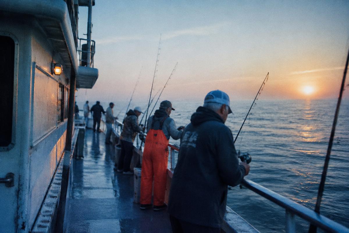
A short, unglamorous packing list from people who have forgotten all of it at least once.
Gear
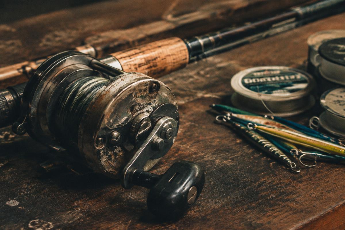
Drag, line, and the two or three decisions that actually matter for a first outfit.
Local
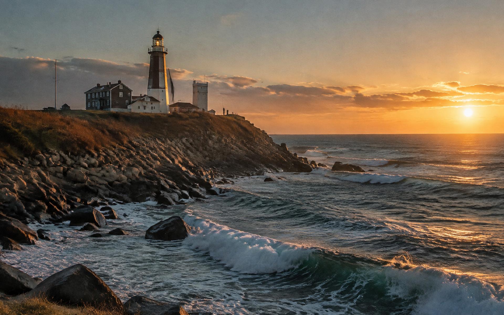
The Point, the rocks, and why the whole end of the island feels like the edge of something.
Fort Pond Bay
Low
12:24 AM
0.2 ft
High
6:20 AM
2.6 ft
Low
1:14 PM
0.1 ft
High
6:41 PM
1.9 ft
Fort Pond Bay, MLLW datum. Slack current does not line up with high and low water — check marine conditions before you go.
The feature
You can see the lighthouse in ten minutes. That is not the same as making a day of it — the Point, the rocks, and why the end of the island feels like the edge of something.
Read the featureFrom the almanac
1927
An inlet was dredged through the north shore of Lake Montauk in 1927, turning a landlocked lake into the harbor the charter and party fleet works out of today.
Recommended
Recommended links are editorial; we are not paid for them.